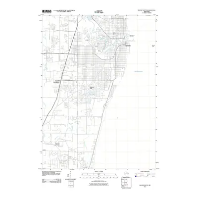
2010 Map of Racine South
USGS Topo · Published 2010About this map
Lake Michigan dominates the eastern edge of this coastal survey, where the urban grid of Racine meets the shoreline near Racine Reef. The landscape is defined by the winding paths of the Root River and the Pike River, which carve through the residential and academic corridors of Mount Pleasant and Elmwood Park. For genealogists, the map is remarkably dense with burial grounds, including the large Graceland Cemetery, Calvary Cemetery, Holy Cross Cemetery, and the Mound Cemetery near the river’s bend. In the southern portion of the sheet, the University of Wisconsin - Parkside Campus sits as a major institutional landmark, bordered by the Oakwood Cemetery and B'nai Zek Cemetery. The shoreline infrastructure is noted by specialized locations like Pugh's Peerless Marina and the Zoological Park, reflecting a community deeply integrated with its riverfront and lakeside geography.
Find a feature on this map
43 named features on this map. Tap any name to fly to it.
Don’t see what you’re looking for? This feature index may not catch every label — zoom into the map to look around manually.
Map Details
Editions of this 2010 Racine South Map
This is the sole edition of this map. No revisions or reprints were ever made.
Other maps of this area

1891 · Bayview
USGS Topo · 1:62,500

1892 · Racine
USGS Topo · 1:62,500

1901 · Bayview
USGS Topo · 1:62,500

1905 · Racine
USGS Topo · 1:62,500
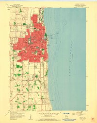
1958 · Kenosha
USGS Topo · 1:24,000
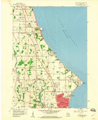
1958 · Racine North
USGS Topo · 1:24,000
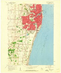
1958 · Racine South
USGS Topo · 1:24,000
1958 · South Milwaukee
USGS Topo · 1:62,500
1958 · Pleasant Prairie
USGS Topo · 1:24,000
1958 · Franksville
USGS Topo · 1:24,000