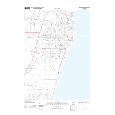
2013 Map of Racine South
USGS Topo · Published 2013About this map
Lake Michigan dominates the eastern shoreline of this 2013 survey, where the Racine County Water Patrol station monitors the waters near Racine Reef. The urban grid is defined by the course of the Root River as it winds through the northern portion of the map, and the Pike River tracing its way through the southern reaches. The enclave of Elmwood Park sits centrally, surrounded by a dense network of transit corridors including the Chicago & Northwestern railroad line. This modern topographic study illustrates the high density of residential and commercial development along major thoroughfares like Durand Ave and Spring St. Significant local landmarks are preserved in the data, such as the Zoological Park near the lakefront, providing a clear record of the area's contemporary land use and municipal boundaries.
Find a feature on this map
83 named features on this map. Tap any name to fly to it.
Don’t see what you’re looking for? This feature index may not catch every label — zoom into the map to look around manually.
Map Details
Editions of this 2013 Racine South Map
This is the sole edition of this map. No revisions or reprints were ever made.
Other maps of this area

1891 · Bayview
USGS Topo · 1:62,500

1892 · Racine
USGS Topo · 1:62,500

1901 · Bayview
USGS Topo · 1:62,500

1905 · Racine
USGS Topo · 1:62,500
1958 · Kenosha
USGS Topo · 1:24,000
1958 · Racine North
USGS Topo · 1:24,000
1958 · Racine South
USGS Topo · 1:24,000
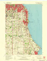
1958 · South Milwaukee
USGS Topo · 1:62,500
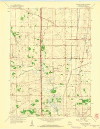
1958 · Pleasant Prairie
USGS Topo · 1:24,000
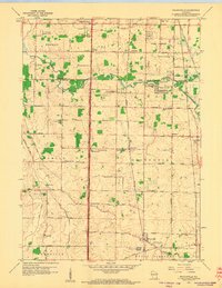
1958 · Franksville
USGS Topo · 1:24,000