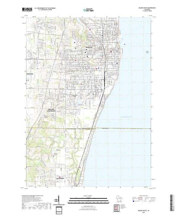
2022 Map of Racine South
USGS Topo · Published 2022About this map
Lake Michigan forms the eastern edge of this landscape, where the Root River winds through the heart of Racine. The city's dense street grid, defined by corridors like Washington Ave and Durand Ave, reveals a deeply established urban core. Institutional and historical significance is concentrated in the many large cemeteries clustered south of the river, including Graceland Cem and the Mound City Cem Soldiers Lot, while the Racine County Courthouse anchors the downtown district.
Find a feature on this map
60 named features on this map. Tap any name to fly to it.
Don’t see what you’re looking for? This feature index may not catch every label — zoom into the map to look around manually.
Map Details
Editions of this 2022 Racine South Map
This is the sole edition of this map. No revisions or reprints were ever made.
Other maps of this area

1891 · Bayview
USGS Topo · 1:62,500

1892 · Racine
USGS Topo · 1:62,500

1901 · Bayview
USGS Topo · 1:62,500

1905 · Racine
USGS Topo · 1:62,500
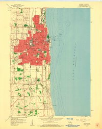
1958 · Kenosha
USGS Topo · 1:24,000
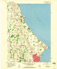
1958 · Racine North
USGS Topo · 1:24,000
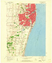
1958 · Racine South
USGS Topo · 1:24,000
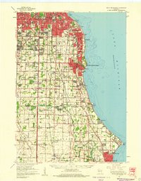
1958 · South Milwaukee
USGS Topo · 1:62,500
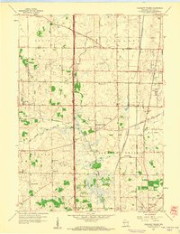
1958 · Pleasant Prairie
USGS Topo · 1:24,000
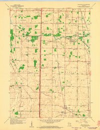
1958 · Franksville
USGS Topo · 1:24,000