Loading...
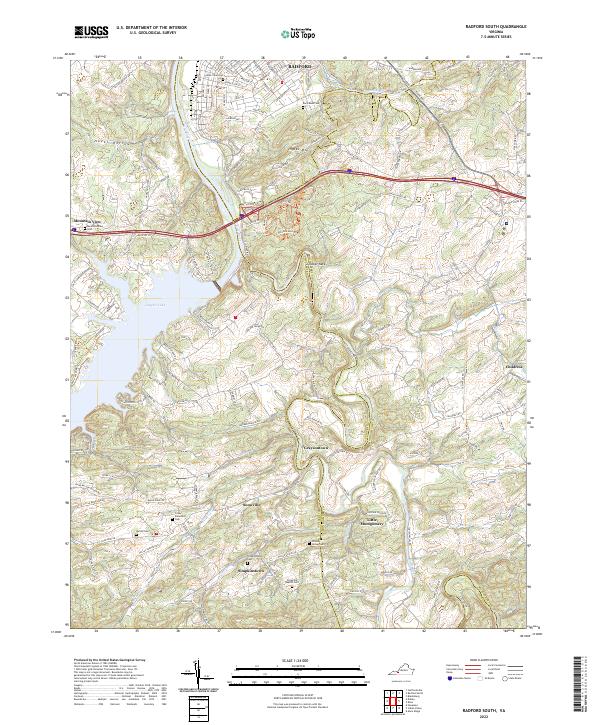
Loading map...2022 Map of Radford South
USGS Topo · Published 2022About this map
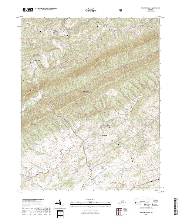
Ingles Mtn rises above the southern edges of Radford, where the New River turns toward the expansive waters of Claytor Lake. This landscape is defined by the winding course of the Little River, which snakes through the countryside past several small settlements including Graysontown, Snowville, and Little Montgomery. The area's history is deeply etched into the land through its numerous burial grounds, such as West View Cem and the Snowville Baptist Cem.
Find a feature on this map
49 named features on this map. Tap any name to fly to it.
Don’t see what you’re looking for? This feature index may not catch every label — zoom into the map to look around manually.
Map Details
Date Portrayed2022
Date Published2022
PublisherU.S. Geological Survey
Map TypeTopographic
Scale1:24000
Physical Dimensions24 x 29 inches
Editions of this 2022 Radford South Map
This is the sole edition of this map. No revisions or reprints were ever made.
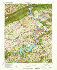
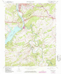
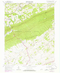
Historical Maps of New Town Through Time
5 maps found
Featured Locations
Source Details
SourceU.S. Geological Survey
CopyrightPublic Domain