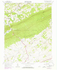
1965 Map of Staffordsville
USGS Topo · Published 1978About this map
Walker Mountain and Cloyds Mountain dominate the center of this quadrangle, defining a landscape where narrow valleys are partitioned by high ridges within the Jefferson National Forest. Settlement is concentrated along the waterways, with Staffordsville and Springdale situated along the winding course of Walker Creek to the north. Further south, the terrain opens into a rolling plateau near the New River Valley Airport and the community of Highland. The presence of several small mines and a Gravel Pit indicates localized industrial activity during the mid-20th century. Transportation patterns are clearly defined by the gap-seeking routes of Walker Creek and the N & W RR corridor that cuts through the southern edge of the sheet. Local genealogy and community history are well-preserved through detailed locations for rural houses of worship like Wesley Chapel and family burial sites including Shannon-King Cem.
Find a feature on this map
44 named features on this map. Tap any name to fly to it.
Don’t see what you’re looking for? This feature index may not catch every label — zoom into the map to look around manually.
Map Details
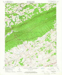
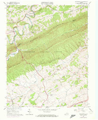
Editions of this 1965 Staffordsville Map
Other maps of this area

1890 · Dublin
USGS Topo · 1:125,000

1891 · Dublin
USGS Topo · 1:125,000

1913 · Peterstown
USGS Topo · 1:48,000

1916 · Peterstown
USGS Topo · 1:62,500

1923 · Pearisburg
USGS Topo · 1:62,500

1925 · Peterstown
USGS Topo · 1:62,500

1932 · Peterstown
USGS Topo · 1:48,000

1932 · Pearisburg
USGS Topo · 1:48,000

1934 · Pulaski
USGS Topo · 1:48,000

1937 · Pearisburg
USGS Topo · 1:62,500