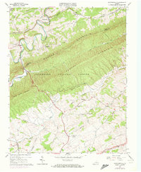
1965 Map of Staffordsville
USGS Topo · Published 1972About this map
Walker Creek meanders through the heart of this Appalachian landscape, defining the valley between the prominent ridges of the region. This 1965 survey, updated with 1972 aerial photography, documents the rural character of Giles and Pulaski counties during a period of steady topographic record-keeping. The settlement of Staffordsville sits near a sharp bend in the creek, serving as a focal point for the surrounding farmsteads and mountain gaps. Small communities like Trigg, Springdale, and Highland are dispersed along the lower elevations, connected by a network of winding valley roads. The map illustrates the division between the cultivated valley floors and the densely wooded slopes of the Jefferson National Forest, providing a clear view of how the terrain dictated the placement of homesteads and small mountain hamlets in the mid-20th century.
Find a feature on this map
5 named features on this map. Tap any name to fly to it.
Don’t see what you’re looking for? This feature index may not catch every label — zoom into the map to look around manually.
Map Details
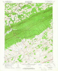
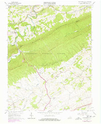
Editions of this 1965 Staffordsville Map
Other maps of this area

1890 · Dublin
USGS Topo · 1:125,000

1891 · Dublin
USGS Topo · 1:125,000

1913 · Peterstown
USGS Topo · 1:48,000

1916 · Peterstown
USGS Topo · 1:62,500

1923 · Pearisburg
USGS Topo · 1:62,500

1925 · Peterstown
USGS Topo · 1:62,500

1932 · Peterstown
USGS Topo · 1:48,000

1932 · Pearisburg
USGS Topo · 1:48,000

1934 · Pulaski
USGS Topo · 1:48,000

1937 · Pearisburg
USGS Topo · 1:62,500