
1937 Map of Pearisburg
USGS Topo · Published 1937About this map
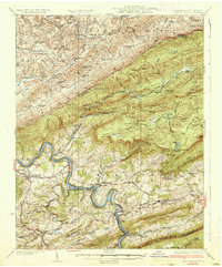
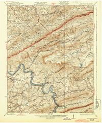
Pearisburg serves as the focal point for this 1937 topographic survey, situated where the New River carves a deep, winding passage through the Appalachian ridges of the Virginia and West Virginia borderlands. The landscape is defined by the massive spine of Peters Mountain and the prominent Butt Mountain, with the Norfolk and Western and Virginia Railway lines hugging the riverbanks to navigate the steep terrain.
Find a feature on this map
125 named features on this map. Tap any name to fly to it.
Don’t see what you’re looking for? This feature index may not catch every label — zoom into the map to look around manually.
Map Details
Editions of this 1937 Pearisburg Map
3 editions found
Other maps of this area

1887 · Hinton
USGS Topo · 1:125,000

1887 · Lewisburg
USGS Topo · 1:125,000

1890 · Dublin
USGS Topo · 1:125,000

1890 · Christiansburg
USGS Topo · 1:125,000

1891 · Lewisburg
USGS Topo · 1:125,000

1891 · Dublin
USGS Topo · 1:125,000

1892 · Hinton
USGS Topo · 1:125,000

1912 · Big Bend
USGS Topo · 1:62,500

1913 · Peterstown
USGS Topo · 1:48,000

1914 · Big Bend
USGS Topo · 1:62,500