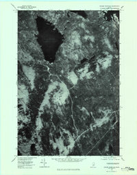
1978 Map of Ragged Mountain
USGS Topo · Published 1984About this map
Upper Jo-Mary Lake dominates the northern reaches of this Maine landscape, captured through orthophotography in the late 1970s. The imagery reveals the dense timberlands and remote waterways of the West Seboois region, where the forest floor is marked by logging roads and natural drainages. To the east, the map captures a portion of South Twin Lake, while the namesake Ragged Mountain rises as a prominent landmark in the central terrain. The southern portion of the sheet is defined by the winding course of the Pleasant River. This aerial perspective provides researchers with a clear view of the industrial and recreational interface of the Maine woods during this era, showing the specific patterns of land use and forest management that shaped the Penobscot County interior.
Find a feature on this map
5 named features on this map. Tap any name to fly to it.
Don’t see what you’re looking for? This feature index may not catch every label — zoom into the map to look around manually.
Map Details
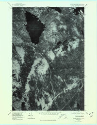
Editions of this 1978 Ragged Mountain Map
2 editions found
Other maps of this area

1940 · Sebec
USGS Topo · 1:48,000

1943 · Sebec
USGS Topo · 1:62,500

1947 · Schoodic
USGS Topo · 1:62,500

1949 · Schoodic
USGS Topo · 1:62,500

1951 · Norcross
USGS Topo · 1:62,500

1952 · Jo-Mary Mountain
USGS Topo · 1:62,500

1954 · Millinocket
USGS Topo · 1:250,000

1958 · Millinocket
USGS Topo · 1:250,000

1960 · Millinocket
USGS Topo · 1:250,000
1978 · Norcross
USGS Topo · 1:24,000