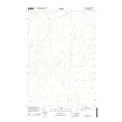
2014 Map of Ragmuff Stream
USGS Topo · Published 2014About this map
Ragmuff Stream flows through this remote section of Piscataquis County, defining a landscape of dense hydrography and logging access routes. The area is characterized by an intricate network of waterways, including the winding Dead Man Brook and Kimble Brook, which drain into the larger stream systems. Small bodies of water like Loon Lake in the northwest and McGooseley Pond in the southwest serve as anchor points in this wooded terrain.
Find a feature on this map
18 named features on this map. Tap any name to fly to it.
Don’t see what you’re looking for? This feature index may not catch every label — zoom into the map to look around manually.
Map Details
Editions of this 2014 Ragmuff Stream Map
This is the sole edition of this map. No revisions or reprints were ever made.
Other maps of this area
1954 · Chesuncook
USGS Topo · 1:62,500
1954 · North East Carry
USGS Topo · 1:62,500
1954 · Caucomgomoc Lake
USGS Topo · 1:62,500
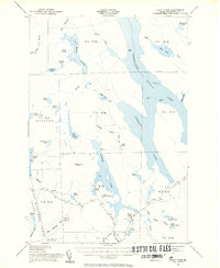
1954 · Grant Farm
USGS Topo · 1:62,500
1954 · Presque Isle
USGS Topo · 1:250,000

1954 · Millinocket
USGS Topo · 1:250,000
1958 · Presque Isle
USGS Topo · 1:250,000
1958 · Millinocket
USGS Topo · 1:250,000
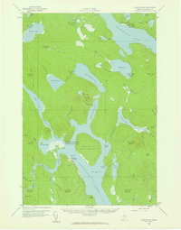
1958 · Chesuncook
USGS Topo · 1:62,500
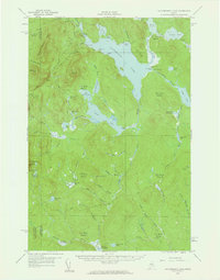
1958 · Caucomgomoc Lake
USGS Topo · 1:62,500