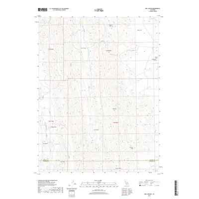
2018 Map of Rail Canyon
USGS Topo · Published 2018About this map
Rail Canyon and the surrounding drainages of the Inner Coast Range dominate this 2018 topographic study of the border between Glenn and Colusa counties. The landscape is defined by its deep canyons and prominent ridges, with High Peak serving as a central geographic anchor above Clark Valley. While mostly a backcountry landscape of ridges like Seminary Ridge and Clark Ridge, the map reveals a network of local roads including Rail Canyon Rd and several county routes that provide access to the interior.
Find a feature on this map
31 named features on this map. Tap any name to fly to it.
Don’t see what you’re looking for? This feature index may not catch every label — zoom into the map to look around manually.
Map Details
Editions of this 2018 Rail Canyon Map
This is the sole edition of this map. No revisions or reprints were ever made.
Other maps of this area

1904 · Logan Creek
USGS Topo · 1:24,000

1904 · Sites
USGS Topo · 1:24,000

1917 · Kurand
USGS Topo · 1:31,680

1917 · Sites
USGS Topo · 1:31,680

1918 · Logan Creek
USGS Topo · 1:31,680

1919 · Fruto
USGS Topo · 1:62,500

1919 · Elk Creek
USGS Topo · 1:62,500

1943 · Lodoga
USGS Topo · 1:62,500

1944 · Fruto
USGS Topo · 1:62,500

1948 · Elk Creek
USGS Topo · 1:62,500