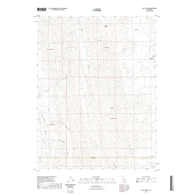
2021 Map of Rail Canyon
USGS Topo · Published 2021About this map
High Peak stands as a central landmark in this portion of the Inner Northern Coast Ranges, overlooking a complex system of drainage and ridges. The landscape is defined by its deep canyons and named valleys, including Hubbard Valley and Lake Canyon to the north, which give way to the prominent Seminary Ridge in the south. The mapping detail shows the descent from the elevated Clark Ridge down into the watershed of S Fork Willow Cr and Dutch Henry Cr.
Find a feature on this map
35 named features on this map. Tap any name to fly to it.
Don’t see what you’re looking for? This feature index may not catch every label — zoom into the map to look around manually.
Map Details
Editions of this 2021 Rail Canyon Map
This is the sole edition of this map. No revisions or reprints were ever made.
Other maps of this area

1904 · Logan Creek
USGS Topo · 1:24,000

1904 · Sites
USGS Topo · 1:24,000

1917 · Kurand
USGS Topo · 1:31,680

1917 · Sites
USGS Topo · 1:31,680

1918 · Logan Creek
USGS Topo · 1:31,680

1919 · Fruto
USGS Topo · 1:62,500

1919 · Elk Creek
USGS Topo · 1:62,500

1943 · Lodoga
USGS Topo · 1:62,500

1944 · Fruto
USGS Topo · 1:62,500

1948 · Elk Creek
USGS Topo · 1:62,500