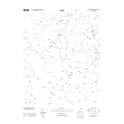
2013 Map of Rainbow Springs
USGS Topo · Published 2013About this map
Rainbow Springs serves as the focal point of this mountainous landscape, situated along the upper reaches of the Nantahala River. This high-elevation terrain is defined by a dense network of ridges and gap crossings, including Sassafras Gap and Deep Gap, which have long dictated travel through the Nantahala National Forest. The presence of the Standing Indian Shelter and Muskrat Creek Shelter, alongside the Deep Gap Campground, indicates the area's importance for backcountry recreation and trail infrastructure. The hydrology of the region is equally complex, featuring the Moore Creek Upper Lake and Moore Creek Lower Lake, fed by numerous high-gradient streams like Bullscrape Br and Nova Scotia Br. Geologic and topographic landmarks such as Courthouse Bald, Chunky Gal Mountain, and Buzzard Knob dominate the skyline, illustrating the dramatic vertical relief that characterizes this section of the Southern Blue Ridge.
Find a feature on this map
165 named features on this map. Tap any name to fly to it.
Don’t see what you’re looking for? This feature index may not catch every label — zoom into the map to look around manually.
Map Details
Editions of this 2013 Rainbow Springs Map
This is the sole edition of this map. No revisions or reprints were ever made.
Other maps of this area

1886 · Dahlonega
USGS Topo · 1:125,000

1886 · Walhalla
USGS Topo · 1:125,000

1891 · Cowee
USGS Topo · 1:125,000

1892 · Dahlonega
USGS Topo · 1:125,000

1892 · Walhalla
USGS Topo · 1:125,000

1896 · Walhalla
USGS Topo · 1:125,000

1896 · Dahlonega
USGS Topo · 1:125,000

1897 · Cowee
USGS Topo · 1:125,000

1903 · Dahlonega
USGS Topo · 1:125,000

1907 · Cowee
USGS Topo · 1:125,000