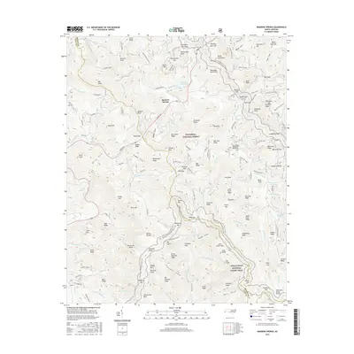
2016 Map of Rainbow Springs
USGS Topo · Published 2016About this map
Rainbow Springs sits at the heart of this high-elevation landscape within the Nantahala National Forest, where the upper reaches of the Nantahala River drain a complex network of ridges and knobs. The topography is defined by the intersection of numerous family-named peaks and ridges, such as Kitchens Knob and Milksick Knob, illustrating a long history of local land use and naming conventions in Macon and Clay counties.
Find a feature on this map
157 named features on this map. Tap any name to fly to it.
Don’t see what you’re looking for? This feature index may not catch every label — zoom into the map to look around manually.
Map Details
Editions of this 2016 Rainbow Springs Map
This is the sole edition of this map. No revisions or reprints were ever made.
Other maps of this area

1886 · Dahlonega
USGS Topo · 1:125,000

1886 · Walhalla
USGS Topo · 1:125,000

1891 · Cowee
USGS Topo · 1:125,000

1892 · Dahlonega
USGS Topo · 1:125,000

1892 · Walhalla
USGS Topo · 1:125,000

1896 · Walhalla
USGS Topo · 1:125,000

1896 · Dahlonega
USGS Topo · 1:125,000

1897 · Cowee
USGS Topo · 1:125,000

1903 · Dahlonega
USGS Topo · 1:125,000

1907 · Cowee
USGS Topo · 1:125,000