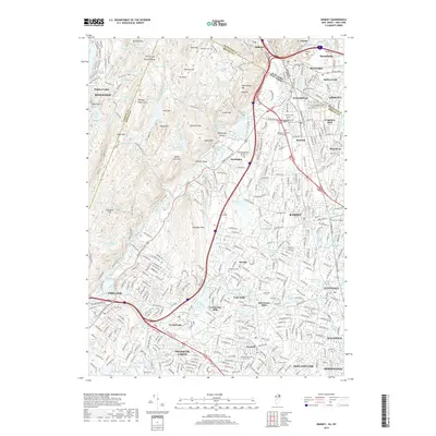
2019 Map of Ramsey
USGS Topo · Published 2019About this map
Suffern and Mahwah anchor the corridor where the Ramapo River cuts through the highland terrain of the Ramapo Mountains. This modern survey details a densely settled suburban landscape where historic centers like Ramsey, Wyckoff, and Oakland have expanded around their original rail and road hubs. The map reveals the persistent industrial and social history of the region through sites like Ackermans Mills and Ferdinands Mills, alongside significant institutions including Ramapo College of New Jersey.
Find a feature on this map
223 named features on this map. Tap any name to fly to it.
Don’t see what you’re looking for? This feature index may not catch every label — zoom into the map to look around manually.
Map Details
Editions of this 2019 Ramsey Map
This is the sole edition of this map. No revisions or reprints were ever made.
Other maps of this area

1888 · Morristown
USGS Topo · 1:62,500

1888 · Paterson
USGS Topo · 1:62,500

1891 · Greenwood Lake
USGS Topo · 1:62,500

1891 · Ramapo
USGS Topo · 1:62,500

1892 · Paterson
USGS Topo · 1:62,500

1893 · Greenwood Lake
USGS Topo · 1:62,500

1893 · Ramapo
USGS Topo · 1:62,500

1894 · Morristown
USGS Topo · 1:62,500

1898 · Morristown
USGS Topo · 1:62,500

1898 · Paterson
USGS Topo · 1:62,500