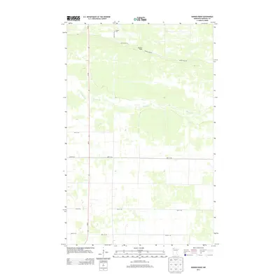
2013 Map of Randen Ridge
USGS Topo · Published 2013About this map
Randen Ridge rises as a distinct topographical feature in the northern reaches of Marshall County, overlooking the winding path of the Moose River. This modern topographic survey illustrates a rural landscape structured by the section-line road network common to the Red River Valley region, with MN-89 serving as the primary north-south artery. The presence of the Randen Cem near the junction of 350th Ave NE and Ranson Ridge Rd provides a critical anchor for genealogists and local historians, marking a legacy of early settlement in this sparsely populated area. The map reveals the relationship between the elevated glacial ridge and the lower, drainage-rich terrain that defines the surrounding agricultural and wildlands.
Find a feature on this map
13 named features on this map. Tap any name to fly to it.
Don’t see what you’re looking for? This feature index may not catch every label — zoom into the map to look around manually.
Map Details
Editions of this 2013 Randen Ridge Map
This is the sole edition of this map. No revisions or reprints were ever made.
Other maps of this area

1918 · Rollis
USGS Topo · 1:62,500

1918 · Pencer
USGS Topo · 1:62,500

1918 · Garland
USGS Topo · 1:62,500

1919 · Liner
USGS Topo · 1:62,500

1943 · Rollis
USGS Topo · 1:62,500

1954 · Roseau
USGS Topo · 1:250,000

1957 · Roseau
USGS Topo · 1:250,000

1958 · Roseau
USGS Topo · 1:250,000

1962 · Gatzke SE
USGS Topo · 1:24,000

1962 · Gatzke
USGS Topo · 1:24,000