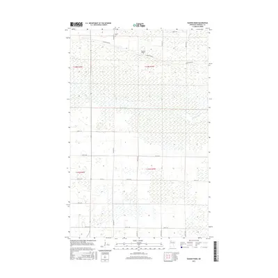
2016 Map of Randen Ridge
USGS Topo · Published 2016About this map
Randen Ridge rises as a distinct topographical feature amidst the expansive lowlands of Marshall County, defining the local character of this northern Minnesota landscape. This 2016 survey highlights a sparsely populated area where the Moose River meanders across the central terrain, its slow passage suggesting the low gradients of the region. The map documents a grid of rural routes and sectional boundaries, including Co Hwy 53 and the family-named Randeen Ridge Rd, which follows the higher ground. A notable point for genealogists is Randen Cem at the northern edge, a solitary marker of local heritage. The layout of roads like 370th St NE and 350th St NE underscores the precision of the township and range system in managing this northern territory.
Find a feature on this map
16 named features on this map. Tap any name to fly to it.
Don’t see what you’re looking for? This feature index may not catch every label — zoom into the map to look around manually.
Map Details
Editions of this 2016 Randen Ridge Map
This is the sole edition of this map. No revisions or reprints were ever made.
Other maps of this area

1918 · Rollis
USGS Topo · 1:62,500

1918 · Pencer
USGS Topo · 1:62,500

1918 · Garland
USGS Topo · 1:62,500

1919 · Liner
USGS Topo · 1:62,500

1943 · Rollis
USGS Topo · 1:62,500

1954 · Roseau
USGS Topo · 1:250,000

1957 · Roseau
USGS Topo · 1:250,000

1958 · Roseau
USGS Topo · 1:250,000

1962 · Gatzke SE
USGS Topo · 1:24,000

1962 · Gatzke
USGS Topo · 1:24,000