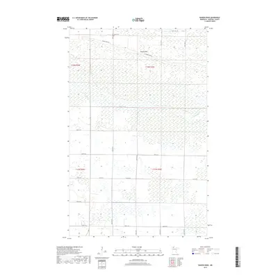
2019 Map of Randen Ridge
USGS Topo · Published 2019About this map
Moose River meanders across this low-lying stretch of Marshall County, defining a landscape dominated by extensive wetlands and brushland. The terrain is notably level, with the exception of the subtle rise of Randen Ridge, which provides a slight elevation contrast to the surrounding marshy ground. This 2019 survey documents a sparsely populated rural district where human activity is organized around a strictly defined section-line road grid, including 370th St NE and 380th St NE. The presence of the Randen Cem near the northern edge, situated along Randen Ridge Rd, suggests the historical center of this remote community. For genealogists and local historians, the map preserves the exact placement of these namesake landmarks in a region where the natural water table heavily dictates settlement patterns and land use.
Find a feature on this map
16 named features on this map. Tap any name to fly to it.
Don’t see what you’re looking for? This feature index may not catch every label — zoom into the map to look around manually.
Map Details
Editions of this 2019 Randen Ridge Map
This is the sole edition of this map. No revisions or reprints were ever made.
Other maps of this area

1918 · Rollis
USGS Topo · 1:62,500

1918 · Pencer
USGS Topo · 1:62,500

1918 · Garland
USGS Topo · 1:62,500

1919 · Liner
USGS Topo · 1:62,500

1943 · Rollis
USGS Topo · 1:62,500

1954 · Roseau
USGS Topo · 1:250,000

1957 · Roseau
USGS Topo · 1:250,000

1958 · Roseau
USGS Topo · 1:250,000

1962 · Gatzke SE
USGS Topo · 1:24,000

1962 · Gatzke
USGS Topo · 1:24,000