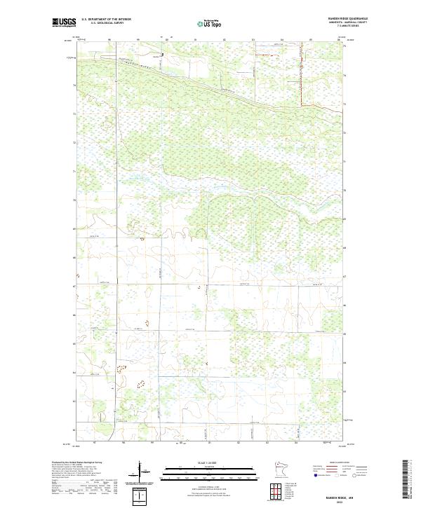
2022 Map of Randen Ridge
USGS Topo · Published 2022About this map
Randen Ridge rises as a distinct topographical spine across the northern reach of this Marshall County landscape, surrounded by an expansive network of wetlands and drainage patterns. The Moose River meanders through the central and eastern portions of the quadrangle, defining the hydrological character of this remote northern Minnesota region. Settlement is sparse, with the local history anchored by the Randen Cem located just north of Randeen Ridge Rd. The map reveals a highly structured grid of section lines and rural roads, including Co Hwy 53 and Co Rd 132, which provide access to the agricultural and natural tracts. Modern recreation is represented by the Fourtown-Grygla Trail System Trl, which skirts the eastern boundary, illustrating the area's contemporary use for outdoor transit and conservation.
Find a feature on this map
21 named features on this map. Tap any name to fly to it.
Don’t see what you’re looking for? This feature index may not catch every label — zoom into the map to look around manually.
Map Details
Editions of this 2022 Randen Ridge Map
This is the sole edition of this map. No revisions or reprints were ever made.
Other maps of this area

1918 · Rollis
USGS Topo · 1:62,500

1918 · Pencer
USGS Topo · 1:62,500

1918 · Garland
USGS Topo · 1:62,500

1919 · Liner
USGS Topo · 1:62,500

1943 · Rollis
USGS Topo · 1:62,500

1954 · Roseau
USGS Topo · 1:250,000

1957 · Roseau
USGS Topo · 1:250,000

1958 · Roseau
USGS Topo · 1:250,000

1962 · Gatzke SE
USGS Topo · 1:24,000

1962 · Gatzke
USGS Topo · 1:24,000