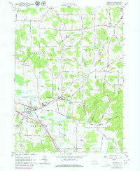
1962 Map of Randolph
USGS Topo · Published 1980About this map
The villages of Randolph and East Randolph anchor this southwestern New York landscape, situated where Little Conewango Creek meets a complex network of glacial valleys. The mid-century transport corridor is defined by the Conrail line and a dense grid of rural routes, including the curiously named Billion Dollar Road. Cultural and civic history is evident in the presence of the Childrens Home and a State Fish Hatchery located east of the main settlement.
Find a feature on this map
83 named features on this map. Tap any name to fly to it.
Don’t see what you’re looking for? This feature index may not catch every label — zoom into the map to look around manually.
Map Details
Editions of this 1962 Randolph Map
2 editions found
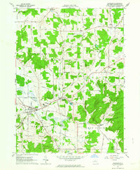
Other maps of this area

1900 · Cherry Creek
USGS Topo · 1:62,500

1905 · Jamestown
USGS Topo · 1:62,500

1922 · Randolph
USGS Topo · 1:62,500

1923 · Randolph
USGS Topo · 1:62,500

1923 · Cattaraugus
USGS Topo · 1:62,500

1938 · Cattaraugus
USGS Topo · 1:62,500

1941 · Cattaraugus
USGS Topo · 1:62,500

1941 · Cherry Creek
USGS Topo · 1:62,500

1942 · Jamestown
USGS Topo · 1:62,500

1943 · Randolph
USGS Topo · 1:62,500