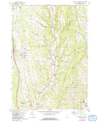
1981 Map of Randolph Center
USGS Topo · Published 1991About this map
Vermont Technical College serves as a central landmark for this upland Vermont landscape, situated on the high plateau of Randolph Center. The terrain is defined by the deep incisions of the Second Branch White River and the First Branch White River, which carve north-south valleys through the Green Mountains foothills. Along these watercourses, a string of river settlements—North Randolph, East Randolph, and South Randolph—illustrate the historical reliance on valley floors for transport and agriculture. The map details several historic burying grounds, including East Randolph Cem and the remote Kelsey Mtn Cem on the slopes of Kelsey Mountain. From the heights of Randolph Hill to the eastern ridges of Tunbridge Hill, the cartography preserves a network of rural roads and numerous named brooks such as Penny Brook and Blaisdell Brook that feed the White River system.
Find a feature on this map
52 named features on this map. Tap any name to fly to it.
Don’t see what you’re looking for? This feature index may not catch every label — zoom into the map to look around manually.
Map Details
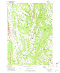
Editions of this 1981 Randolph Center Map
2 editions found
Other maps of this area

1896 · Strafford
USGS Topo · 1:62,500

1919 · Royalton
USGS Topo · 1:62,500

1922 · Barre
USGS Topo · 1:48,000

1924 · Barre
USGS Topo · 1:62,500

1924 · Randolph
USGS Topo · 1:48,000

1926 · Randolph
USGS Topo · 1:62,500

1944 · Strafford
USGS Topo · 1:62,500

1947 · Corinth
USGS Topo · 1:62,500

1948 · East Barre
USGS Topo · 1:62,500

1950 · Glens Falls
USGS Topo · 1:250,000