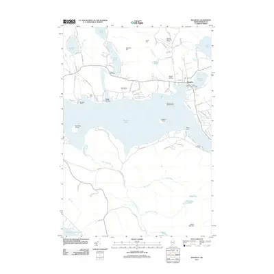
2011 Map of Rangeley
USGS Topo · Published 2011About this map
Rangeley serves as the focal point for this survey of the Maine highlands, where the shoreline of Rangeley Lake transitions from the structured streets of the village to the protected lands of Rangeley Lake State Park. The map documents a community deeply integrated with its geography, featuring both the Rangeley Municipal Airport and the Rangeley Lake Seaplane Base for regional access. Several seasonal or historic encampments, such as North Camps and Sam-o-set Camps, point to the area's long-standing draw for recreation and sport.
Find a feature on this map
87 named features on this map. Tap any name to fly to it.
Don’t see what you’re looking for? This feature index may not catch every label — zoom into the map to look around manually.
Map Details
Editions of this 2011 Rangeley Map
This is the sole edition of this map. No revisions or reprints were ever made.
Other maps of this area

1931 · Cupsuptic
USGS Topo · 1:48,000

1932 · Kennebago Lake
USGS Topo · 1:48,000

1933 · Rangeley
USGS Topo · 1:48,000

1934 · Cupsuptic
USGS Topo · 1:62,500

1935 · Kennebago Lake
USGS Topo · 1:62,500

1935 · Cupsuptic
USGS Topo · 1:62,500

1936 · Kennebago Lake
USGS Topo · 1:62,500

1939 · Rangeley
USGS Topo · 1:62,500

1940 · Oquossoc
USGS Topo · 1:62,500

1942 · Oquossoc
USGS Topo · 1:62,500
Featured Places
- Rangeley, ME
- Dallas Plantation, ME
- Rangeley Plantation, ME
- Sandy River Plantation, ME
- Franklin County, ME