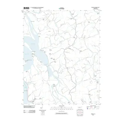
2010 Map of Rankin
USGS Topo · Published 2010About this map
The Nolichucky River and French Broad River converge here, shaping a landscape defined by water and narrow hollows. In this part of Cocke County, the Douglas Lake reservoir dominates the western side, flooding areas near Rankin Bottoms and Dutch Bottoms. This topography reflects the significant 20th-century hydro-engineering that transformed these river valleys into a major reservoir system.
Find a feature on this map
126 named features on this map. Tap any name to fly to it.
Don’t see what you’re looking for? This feature index may not catch every label — zoom into the map to look around manually.
Map Details
Editions of this 2010 Rankin Map
This is the sole edition of this map. No revisions or reprints were ever made.
Other maps of this area

1883 · Morristown
USGS Topo · 1:125,000

1893 · Mt Guyot
USGS Topo · 1:125,000

1893 · Morristown
USGS Topo · 1:125,000

1895 · Morristown
USGS Topo · 1:125,000

1912 · Mt Guyot
USGS Topo · 1:125,000

1935 · Newport
USGS Topo · 1:48,000

1935 · White Pine
USGS Topo · 1:24,000

1935 · English Mountain
USGS Topo · 1:48,000

1935 · Parrottsville
USGS Topo · 1:24,000

1935 · Neddy Mountain
USGS Topo · 1:24,000