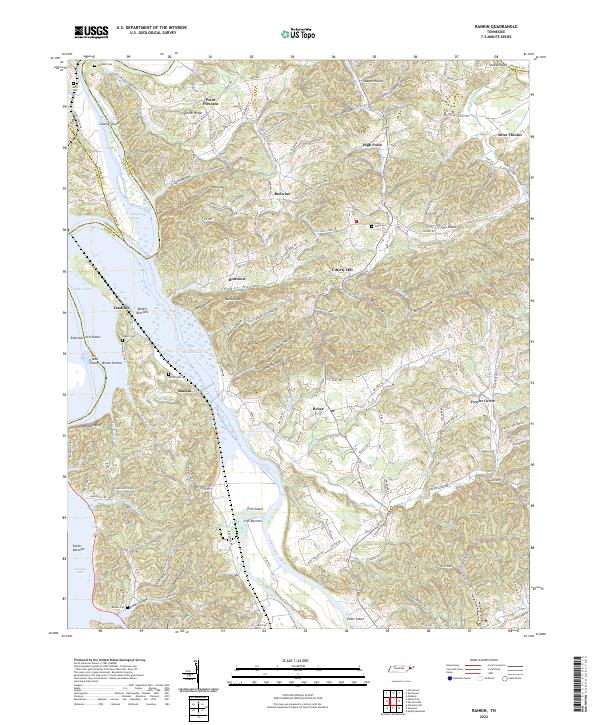
2022 Map of Rankin
USGS Topo · Published 2022About this map
Douglas Lake and the confluence of the Pigeon River and French Broad River dominate this landscape in East Tennessee. The river system is defined by broad floodplains and islands, including Rankin Bottoms, Irish Bottoms, and Fork Island, which reflect the area's rich riparian history before and after the impoundment of the lake. The terrain transitions into a series of hollows and ridges, such as Fowler Ridge and Ramsey Mtn, which have historically sheltered small settlements like Bybee and Briar Thicket.
Find a feature on this map
139 named features on this map. Tap any name to fly to it.
Don’t see what you’re looking for? This feature index may not catch every label — zoom into the map to look around manually.
Map Details
Editions of this 2022 Rankin Map
This is the sole edition of this map. No revisions or reprints were ever made.
Other maps of this area

1883 · Morristown
USGS Topo · 1:125,000

1893 · Mt Guyot
USGS Topo · 1:125,000

1893 · Morristown
USGS Topo · 1:125,000

1895 · Morristown
USGS Topo · 1:125,000

1912 · Mt Guyot
USGS Topo · 1:125,000

1935 · Newport
USGS Topo · 1:48,000

1935 · White Pine
USGS Topo · 1:24,000

1935 · English Mountain
USGS Topo · 1:48,000

1935 · Parrottsville
USGS Topo · 1:24,000

1935 · Neddy Mountain
USGS Topo · 1:24,000