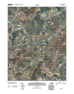
2010 Map of Rapidan
USGS Topo · Published 2010About this map
The Rapidan River and Robinson River converge in this central Virginia landscape, defining a region where river crossings and rural crossroads have long shaped local life. At the heart of the sheet lies Rapidan, a community established at a key bend in the water, supported by nearby features like Willis Bridge and the Emmanuel Cemetery. The terrain is punctuated by several prominent heights, including Cedar Mountain, Buzzard Mountain, and Jerdone Mountain, which rise above the surrounding runs and branches. To the south, the northern edge of Orange appears, connected to outlying settlements like Nasons and Larmond via a network of historic routes including Montebello Rd and Turnpike Trce. Genealogists may find interest in Mount Calvary Cemetery and the various named homesteads indicated by the detailed road and water network.
Find a feature on this map
58 named features on this map. Tap any name to fly to it.
Don’t see what you’re looking for? This feature index may not catch every label — zoom into the map to look around manually.
Map Details
Editions of this 2010 Rapidan Map
This is the sole edition of this map. No revisions or reprints were ever made.
Other maps of this area

1887 · Spottsylvania
USGS Topo · 1:125,000

1892 · Spottsylvania
USGS Topo · 1:125,000

1892 · Gordonsville
USGS Topo · 1:125,000

1942 · Lahore
USGS Topo · 1:31,680

1943 · Culpeper
USGS Topo · 1:24,000

1943 · Unionville
USGS Topo · 1:24,000
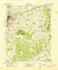
1944 · Culpeper
USGS Topo · 1:31,680
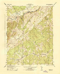
1944 · Unionville
USGS Topo · 1:31,680

1948 · Washington
USGS Topo · 1:250,000

1949 · Charlottesville
USGS Topo · 1:250,000