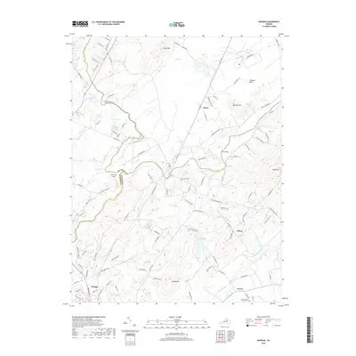
2019 Map of Rapidan
USGS Topo · Published 2019About this map
The Rapidan River snakes across the landscape of the Piedmont, serving as a natural boundary between Orange, Culpeper, and Madison counties. In the southern portion of the sheet, the town of Orange appears as a primary population center, with its surrounding landscape dotted by smaller settlements such as Nasons and Clifton. The terrain is characterized by prominent peaks like Jerdone Mtn and Clark Mtn, which rise above the Culpeper Basin to the north. Local history is reflected in several longstanding sites including Emmanuel Cem and Mount Calvary Church Cem. The map documents a blend of rural agriculture and small-town development, connected by a network of local roads and water crossings like the Willis Bridge over the river. Aviation also has a presence here, marked by the Arrowpoint Airport near the tri-county junction.
Find a feature on this map
104 named features on this map. Tap any name to fly to it.
Don’t see what you’re looking for? This feature index may not catch every label — zoom into the map to look around manually.
Map Details
Editions of this 2019 Rapidan Map
This is the sole edition of this map. No revisions or reprints were ever made.
Other maps of this area

1887 · Spottsylvania
USGS Topo · 1:125,000

1892 · Spottsylvania
USGS Topo · 1:125,000

1892 · Gordonsville
USGS Topo · 1:125,000

1942 · Lahore
USGS Topo · 1:31,680

1943 · Culpeper
USGS Topo · 1:24,000

1943 · Unionville
USGS Topo · 1:24,000
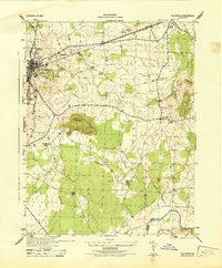
1944 · Culpeper
USGS Topo · 1:31,680
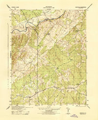
1944 · Unionville
USGS Topo · 1:31,680

1948 · Washington
USGS Topo · 1:250,000

1949 · Charlottesville
USGS Topo · 1:250,000