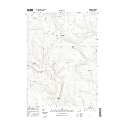
2016 Map of Rathbone
USGS Topo · Published 2016About this map
The Canisteo River carves a deep valley through this portion of Steuben County, anchoring settlements like Cameron Mills and Rathbone. The landscape is defined by its numerous small drainage basins and hollows, such as Babcock Hollow and The Gulf, which dictate the winding paths of rural routes like Helmer Creek Rd and Bonny Hill Rd. Genealogy researchers will find significant value in the distribution of family and community burial grounds, including the Risingville Cem, Aldrich Cem, and the Town Line Church Cem. Higher elevations are marked by points like Beaver Hill, while the eastern portion of the quadrangle features water bodies such as Goodhue Lake and Thurston Pond. This survey illustrates the persistent rural character of the region, where small hamlets like Risingville and South Thurston remain connected by a network of county roads following the natural contours of the Steuben hills.
Find a feature on this map
92 named features on this map. Tap any name to fly to it.
Don’t see what you’re looking for? This feature index may not catch every label — zoom into the map to look around manually.
Map Details
Editions of this 2016 Rathbone Map
This is the sole edition of this map. No revisions or reprints were ever made.
Other maps of this area

1903 · Hammondsport
USGS Topo · 1:62,500

1910 · Bath
USGS Topo · 1:62,500

1914 · Corning
USGS Topo · 1:62,500

1924 · Woodhull
USGS Topo · 1:48,000

1926 · Woodhull
USGS Topo · 1:62,500

1944 · Woodhull
USGS Topo · 1:62,500

1944 · Corning
USGS Topo · 1:62,500

1950 · Elmira
USGS Topo · 1:250,000

1953 · Campbell
USGS Topo · 1:24,000

1953 · Cameron
USGS Topo · 1:24,000