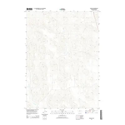
2014 Map of Raven SW
USGS Topo · Published 2014About this map
The Calamus River winds through the southwestern corner of this landscape, carving a distinct valley through the otherwise high, rolling terrain of Brown County. This 2014 survey captures the area at a time of sparse development, where the primary human footprint is the alignment of Ne-7, which cuts across the northeastern corner. The topographic detail highlights a complex network of drainages and elevation changes characteristic of the Nebraska sandhills region, emphasizing the isolation and environmental character of the river corridor before it exits the quadrangle. For those interested in the hydrology and geography of the central state, the map provides a clear record of natural drainage patterns and the path of the state highway.
Find a feature on this map
2 named features on this map. Tap any name to fly to it.
Don’t see what you’re looking for? This feature index may not catch every label — zoom into the map to look around manually.
Map Details
Editions of this 2014 Raven SW Map
This is the sole edition of this map. No revisions or reprints were ever made.
Other maps of this area

1949 · Koshopah
USGS Topo · 1:62,500

1951 · Moon Lake
USGS Topo · 1:62,500

1951 · Koshopah
USGS Topo · 1:62,500

1955 · O'Neill
USGS Topo · 1:250,000

1957 · Valentine
USGS Topo · 1:250,000

1959 · Valentine
USGS Topo · 1:250,000

1959 · O'Neill
USGS Topo · 1:250,000

1969 · O'Neill
USGS Topo · 1:250,000

1982 · Lost Lake Ranch
USGS Topo · 1:24,000

1982 · Hofeld Lake
USGS Topo · 1:24,000