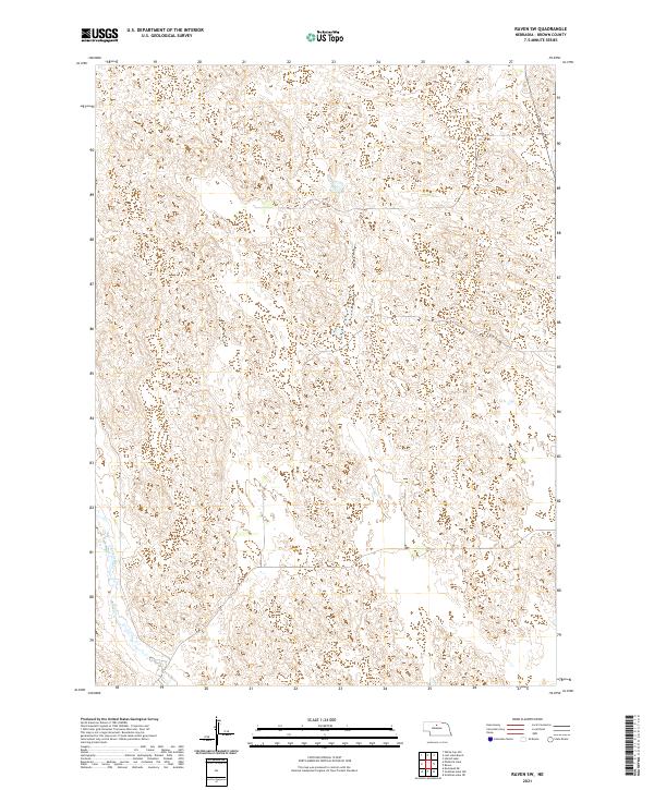
2021 Map of Raven SW
USGS Topo · Published 2021About this map
The Calamus River meanders through this portion of Brown County, marking the primary drainage in an otherwise sparsely developed landscape. This 2021 topographic survey reveals a terrain dominated by the intricate contour patterns of the Nebraska Sandhills, where the absence of established towns or major infrastructure highlights the region's ranching character. The map primarily documents the Public Land Survey System divisions, including sections of t27n r23w and t28n r22w, providing a precise record of land boundaries and natural watercourses as they exist in the modern era.
Find a feature on this map
7 named features on this map. Tap any name to fly to it.
Don’t see what you’re looking for? This feature index may not catch every label — zoom into the map to look around manually.
Map Details
Editions of this 2021 Raven SW Map
This is the sole edition of this map. No revisions or reprints were ever made.
Other maps of this area

1949 · Koshopah
USGS Topo · 1:62,500

1951 · Moon Lake
USGS Topo · 1:62,500

1951 · Koshopah
USGS Topo · 1:62,500

1955 · O'Neill
USGS Topo · 1:250,000

1957 · Valentine
USGS Topo · 1:250,000

1959 · Valentine
USGS Topo · 1:250,000

1959 · O'Neill
USGS Topo · 1:250,000

1969 · O'Neill
USGS Topo · 1:250,000

1982 · Lost Lake Ranch
USGS Topo · 1:24,000

1982 · Hofeld Lake
USGS Topo · 1:24,000