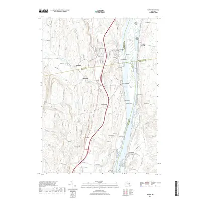
2019 Map of Ravena
USGS Topo · Published 2019About this map
The Hudson River corridor serves as the primary artery for this region of the Hudson Valley, where four New York counties—Albany, Rensselaer, Columbia, and Greene—converge. Long-established riverfront communities like New Baltimore, Coeymans, and Schodack Landing follow the water's edge, while the inland village of Ravena serves as a central hub. The landscape is dotted with several family and community burial grounds, including the Lish Homestead Cem and Stanton Hill Cem, which offer significant genealogical value for those tracing local lineages.
Find a feature on this map
123 named features on this map. Tap any name to fly to it.
Don’t see what you’re looking for? This feature index may not catch every label — zoom into the map to look around manually.
Map Details
Editions of this 2019 Ravena Map
This is the sole edition of this map. No revisions or reprints were ever made.
Other maps of this area

1893 · Troy
USGS Topo · 1:62,500

1893 · Coxsackie
USGS Topo · 1:62,500

1893 · Albany
USGS Topo · 1:62,500

1894 · Coxsackie
USGS Topo · 1:62,500

1895 · Troy
USGS Topo · 1:62,500

1895 · Albany
USGS Topo · 1:62,500

1898 · Albany
USGS Topo · 1:62,500

1898 · Troy
USGS Topo · 1:62,500

1903 · Kinderhook
USGS Topo · 1:62,500

1925 · Troy
USGS Topo · 1:48,000