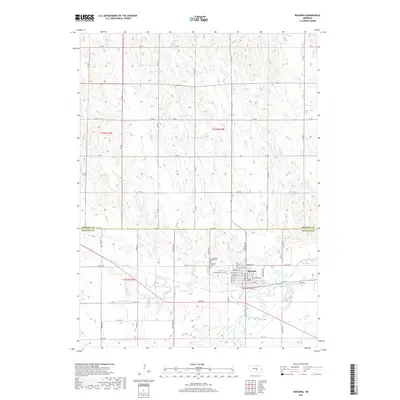
2017 Map of Ravenna
USGS Topo · Published 2017About this map
Ravenna anchors this section of central Nebraska, situated north of the South Loup River where the local drainage of Mud Creek and Beaver Cr defines the landscape. The town's grid is detailed with street names like Genoa St and Syracuse St, reflecting the area's organized development near the Buffalo County Lake. For genealogists and local historians, the proximity of Highland Cem and Our Lady of Lourdes Cem offers specific points of interest on the western edge of the settlement. The map illustrates a rural economy dependent on water management, evidenced by Pease Reservoir Number 1 and the extensive network of section roads such as 385th Rd that cross the Sherman Co and Buffalo Co line. This survey captures the transition from the river bottomlands to the upland prairie, where natural watercourses like Dry Cr carve into the terrain.
Find a feature on this map
37 named features on this map. Tap any name to fly to it.
Don’t see what you’re looking for? This feature index may not catch every label — zoom into the map to look around manually.
Map Details
Editions of this 2017 Ravenna Map
This is the sole edition of this map. No revisions or reprints were ever made.
Other maps of this area

1896 · Kearney
USGS Topo · 1:125,000

1896 · Wood River
USGS Topo · 1:125,000

1899 · Loup
USGS Topo · 1:125,000

1951 · Litchfield NE
USGS Topo · 1:24,000

1951 · Hazard
USGS Topo · 1:24,000

1953 · Rockville
USGS Topo · 1:24,000

1953 · Ravenna NW
USGS Topo · 1:24,000

1953 · Ashton
USGS Topo · 1:24,000

1953 · Ravenna
USGS Topo · 1:24,000

1955 · Broken Bow
USGS Topo · 1:250,000