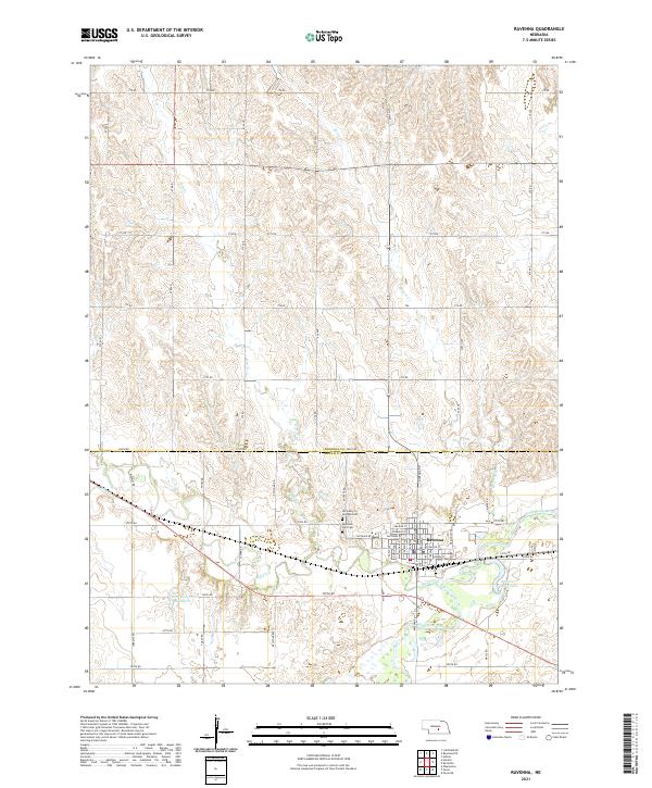
2021 Map of Ravenna
USGS Topo · Published 2021About this map
Ravenna sits at the southern edge of this Central Nebraska survey, situated near the confluence of several vital watercourses. The town is flanked by the South Loup River and Mud Creek, which cut through the landscape alongside smaller tributaries like Beaver Cr and Dry Cr. This 2021 topographic record shows the structured grid of the town center, including local landmarks such as Highland Park Cem and Our Lady of Lourdes Cem to the north. Outside the immediate town limits, the landscape transitions into a network of section roads like Poole Rd and Jasper Rd, which serve the agricultural plots of Buffalo and Sherman counties. Significant water management and recreational features are evident in the Pease Reservoir Number 1 and Buffalo County Lake, illustrating how the local geography has been adapted for both irrigation and public use in the modern era.
Find a feature on this map
64 named features on this map. Tap any name to fly to it.
Don’t see what you’re looking for? This feature index may not catch every label — zoom into the map to look around manually.
Map Details
Editions of this 2021 Ravenna Map
This is the sole edition of this map. No revisions or reprints were ever made.
Other maps of this area

1896 · Kearney
USGS Topo · 1:125,000

1896 · Wood River
USGS Topo · 1:125,000

1899 · Loup
USGS Topo · 1:125,000

1951 · Litchfield NE
USGS Topo · 1:24,000

1951 · Hazard
USGS Topo · 1:24,000

1953 · Rockville
USGS Topo · 1:24,000

1953 · Ravenna NW
USGS Topo · 1:24,000

1953 · Ashton
USGS Topo · 1:24,000

1953 · Ravenna
USGS Topo · 1:24,000

1955 · Broken Bow
USGS Topo · 1:250,000