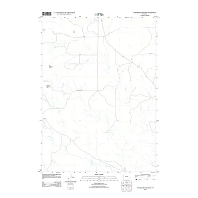
2012 Map of Rawhide Buttes East
USGS Topo · Published 2012About this map
Rawhide Buttes dominate the western landscape of this Goshen County region, forming a significant uplift that includes distinctive landmarks like Big Rawhide Butte and Middle Rawhide Butte. This terrain is defined by its drainage systems, with Rawhide Cr and its tributaries such as Negro Baby Cr carving through the plains. The map reflects a rural ranching environment where water sources like Wolf Spring were historically vital for livestock and settlement.
Find a feature on this map
17 named features on this map. Tap any name to fly to it.
Don’t see what you’re looking for? This feature index may not catch every label — zoom into the map to look around manually.
Map Details
Editions of this 2012 Rawhide Buttes East Map
This is the sole edition of this map. No revisions or reprints were ever made.
Other maps of this area

1896 · Patrick
USGS Topo · 1:125,000

1896 · Hartville
USGS Topo · 1:125,000

1901 · Hartville
USGS Topo · 1:125,000

1951 · Moore Spring
USGS Topo · 1:24,000

1954 · Torrington
USGS Topo · 1:250,000

1958 · Torrington
USGS Topo · 1:250,000
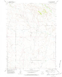
1974 · Jay Em NW
USGS Topo · 1:24,000

1974 · Silver Springs
USGS Topo · 1:24,000

1974 · Jay Em
USGS Topo · 1:24,000

1974 · Rawhide Buttes East
USGS Topo · 1:24,000