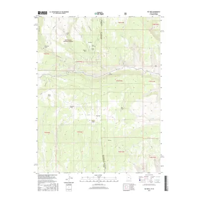
2017 Map of Ray Mesa
USGS Topo · Published 2017About this map
The high plateau terrain along the border of Montrose County, Colorado, and San Juan County, Utah, defines this 2017 survey. The landscape is characterized by deeply incised drainages and elevated mesas, with Two Mile Cr and Hop Cr providing the primary hydrologic landmarks. This modern topographic record captures the area's transition from the western edge of Colorado into the rugged high-elevation forest of Utah. The cartography emphasizes the intricate contouring of the canyon systems and the expansive forest lands, providing a clear view of the natural watercourses that have carved this portion of the Colorado Plateau.
Find a feature on this map
2 named features on this map. Tap any name to fly to it.
Don’t see what you’re looking for? This feature index may not catch every label — zoom into the map to look around manually.
Map Details
Editions of this 2017 Ray Mesa Map
This is the sole edition of this map. No revisions or reprints were ever made.
Other maps of this area

1885 · La Sal
USGS Topo · 1:250,000

1916 · Paradox Valley
USGS Topo · 1:125,000

1922 · Paradox Valley
USGS Topo · 1:125,000

1948 · Roc Creek
USGS Topo · 1:24,000

1948 · Paradox
USGS Topo · 1:24,000

1949 · Paradox
USGS Topo · 1:24,000

1949 · Roc Creek
USGS Topo · 1:24,000
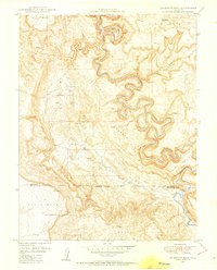
1949 · Anderson Mesa
USGS Topo · 1:24,000
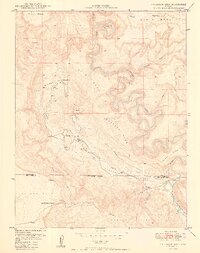
1950 · Anderson Mesa
USGS Topo · 1:24,000

1954 · Mt Peale 1 SE
USGS Topo · 1:24,000