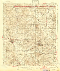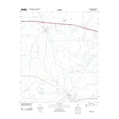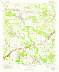
1971 Map of Raymond
USGS Topo · Published 1973About this map
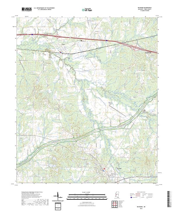
The Illinois Central railroad corridor anchors the northern reach of this Hinds County landscape, connecting the town of Bolton with the rural siding at Norrell. This 1971 survey captures the transition of the area as it balances established agricultural roots with modern infrastructure like the John Bell Williams Airport and the curving path of the Natchez Trace Parkway. Near the settlement of Raymond, the presence of Hinds Jr College and Central Hinds Acad points to the importance of this locale as a regional educational hub. The map is particularly rich in rural community landmarks, preserving the locations of numerous small congregations and burial grounds such as Zion Chapel Cem, Mt Elizabeth Ch, and Gaddis Chapel. From the Oil Wells near Bolton to the banks of Bakers Creek, the topography reveals a complex network of family roads and waterways that defined life in central Mississippi during the early 1970s.
Find a feature on this map
46 named features on this map. Tap any name to fly to it.
Don’t see what you’re looking for? This feature index may not catch every label — zoom into the map to look around manually.
Map Details
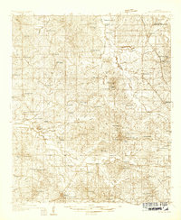
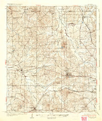
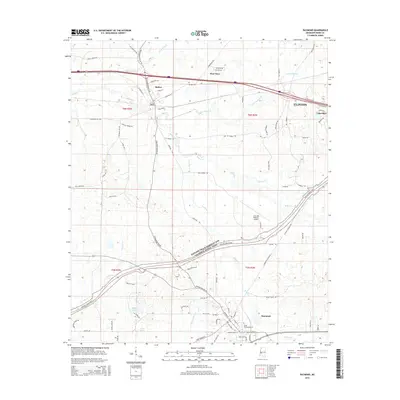
Editions of this 1971 Raymond Map
This is the sole edition of this map. No revisions or reprints were ever made.
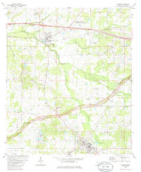
Historical Maps of Clinton Through Time
10 maps found