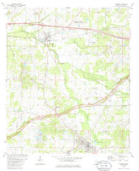
1980 Map of Raymond
USGS Topo · Published 1986About this map
Raymond and Bolton anchor this central Mississippi landscape during a period of infrastructure expansion in the late 1970s. The Natchez Trace Parkway carves a prominent path across the terrain, intersecting the historic corridor of the Illinois Central Gulf Railroad. In the southern portion of the sheet, the presence of Hinds Jr College and Carver Sch marks the growth of the community, while the John Bell Williams Airport highlights the area's modern utility. Numerous rural congregations and burial sites, such as Zion Chapel Ch, Gaddis Chapel, and Pleasant Hill Cem, are scattered along local routes like Ratcliff Road and Bolton Road. This survey captures the transition between organized agriculture and growing suburban or educational hubs, with complex drainage systems like Fourteenmile Creek and Bakers Creek defining the natural contours of the Hinds County countryside.
Find a feature on this map
48 named features on this map. Tap any name to fly to it.
Don’t see what you’re looking for? This feature index may not catch every label — zoom into the map to look around manually.
Map Details
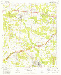
Editions of this 1980 Raymond Map
2 editions found
Other maps of this area

1903 · Jackson
USGS Topo · 1:125,000

1934 · Raymond
USGS Topo · 1:48,000

1937 · Raymond
USGS Topo · 1:62,500

1937 · Terry
USGS Topo · 1:48,000

1938 · Edwards
USGS Topo · 1:62,500

1942 · Raymond
USGS Topo · 1:62,500

1943 · Terry
USGS Topo · 1:62,500

1955 · Jackson
USGS Topo · 1:250,000

1961 · Jackson
USGS Topo · 1:250,000

1962 · Jackson
USGS Topo · 1:250,000