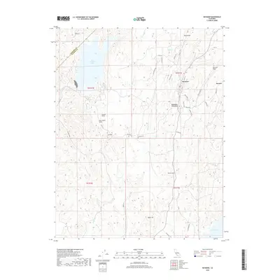
2018 Map of Raymond
USGS Topo · Published 2018About this map
Raymond and the nearby quarry settlement of Knowles anchor this landscape in the foothills of the Sierra Nevada. The terrain is defined by a network of seasonal watercourses like the Chowchilla River, Willow Cr, and Daulton Cr, which flow toward the reservoirs of H. V. Eastman Lake and Hensley Lake. Local history is visible in the placement of the Raymond Cem and the small residential pockets of Central Valley and San Joaquin Valley. Significant elevations such as Iron Mtn, Rabbit Hill, and Spinecup Ridge dominate the topography, while a dense web of county roads and trails like Rough Rider Way and Quarry Rd connect the scattered homesteads. The map also delineates the boundary between Mariposa Co and Madera Co, reflecting the political and geographic transitions of this rural region.
Find a feature on this map
46 named features on this map. Tap any name to fly to it.
Don’t see what you’re looking for? This feature index may not catch every label — zoom into the map to look around manually.
Map Details
Editions of this 2018 Raymond Map
This is the sole edition of this map. No revisions or reprints were ever made.
Other maps of this area

1912 · Mariposa
USGS Topo · 1:125,000

1919 · Indian Gulch
USGS Topo · 1:48,000

1919 · Raynor Creek
USGS Topo · 1:31,680

1919 · Little Table Mountain
USGS Topo · 1:31,680

1920 · Indian Gulch
USGS Topo · 1:62,500

1920 · Kismet
USGS Topo · 1:31,680

1921 · Daulton
USGS Topo · 1:31,680

1942 · Raymond
USGS Topo · 1:62,500

1942 · Daulton
USGS Topo · 1:24,000

1942 · Little Table Mountain
USGS Topo · 1:24,000