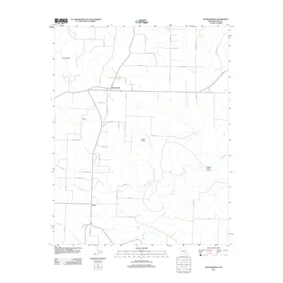
2011 Map of Raymondville
USGS Topo · Published 2011About this map
Raymondville serves as the central hub of this Missouri landscape, situated at the junction of several county roads and local streets like Vollmar St and King St. To the south, the smaller settlement of Yukon marks the lower reaches of the map near the winding path of Big Creek. The terrain is defined by a series of north-south running hollows, including Kelly Hollow, Rabbit Hollow, and the descriptively named Bradford Cave Hollow.
Find a feature on this map
50 named features on this map. Tap any name to fly to it.
Don’t see what you’re looking for? This feature index may not catch every label — zoom into the map to look around manually.
Map Details
Editions of this 2011 Raymondville Map
This is the sole edition of this map. No revisions or reprints were ever made.
Other maps of this area

1932 · Cedar Grove
USGS Topo · 1:48,000

1945 · Clear Springs
USGS Topo · 1:62,500

1946 · Summersville
USGS Topo · 1:62,500

1948 · Clear Springs
USGS Topo · 1:62,500

1948 · Summersville
USGS Topo · 1:62,500

1949 · Rolla
USGS Topo · 1:250,000

1951 · Montauk
USGS Topo · 1:24,000

1951 · Licking
USGS Topo · 1:24,000

1951 · Raymondville
USGS Topo · 1:24,000

1951 · Prescott
USGS Topo · 1:24,000