
1951 Map of Licking
USGS Topo · Published 1952About this map
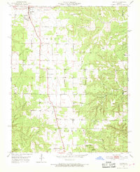
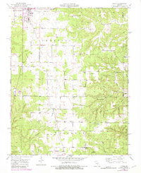
Licking stands at the northern edge of this Ozark plateau landscape, where the town layout gives way to a network of rural roads connecting isolated farmsteads and several small-scale community hubs. To the south, the settlement of Oscar serves as a waypoint along the creek systems that define the area's geography. The map reveals a mid-century social landscape organized around local institutions, including the Boone Creek Ch and a series of rural schoolhouses like Split Limb Sch and Vollmar Sch. The terrain is characterized by numerous named hollows, such as Dead Horse Hollow and Gregory Hollow, which channel water toward Bean Creek and Boone Creek. This 1951 field-checked survey, overseen by State Geologist Edward L. Clark, captures the transition of the Texas and Dent County border region before modern consolidation altered its many independent school districts and local landmarks.
Find a feature on this map
34 named features on this map. Tap any name to fly to it.
Don’t see what you’re looking for? This feature index may not catch every label — zoom into the map to look around manually.
Map Details
Editions of this 1951 Licking Map
3 editions found
Other maps of this area

1932 · Cedar Grove
USGS Topo · 1:48,000

1937 · Edgar Springs
USGS Topo · 1:48,000

1941 · Salem
USGS Topo · 1:62,500

1945 · Salem
USGS Topo · 1:62,500

1945 · Edgar Springs
USGS Topo · 1:62,500

1949 · Rolla
USGS Topo · 1:250,000

1951 · Montauk
USGS Topo · 1:24,000

1951 · Raymondville
USGS Topo · 1:24,000

1951 · Prescott
USGS Topo · 1:24,000

1951 · Houston
USGS Topo · 1:24,000