
1951 Map of Houston
USGS Topo · Published 1952About this map
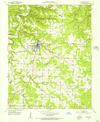
Houston serves as the focal point of this 1951 topographic survey, situated at the confluence of several prominent Ozark waterways. The town layout is clearly defined, featuring a Landing Field to the east and a Sewage Disposal facility near Brushy Creek. The surrounding landscape is heavily dissected by deep hollows and creek beds, including Mineral Springs Hollow and Devils Hollow.
Find a feature on this map
33 named features on this map. Tap any name to fly to it.
Don’t see what you’re looking for? This feature index may not catch every label — zoom into the map to look around manually.
Map Details
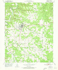
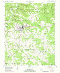
Editions of this 1951 Houston Map
4 editions found
Other maps of this area

1941 · Bado
USGS Topo · 1:62,500

1943 · Bado
USGS Topo · 1:62,500

1945 · Clear Springs
USGS Topo · 1:62,500

1948 · Clear Springs
USGS Topo · 1:62,500

1949 · Rolla
USGS Topo · 1:250,000

1951 · Licking
USGS Topo · 1:24,000

1951 · Raymondville
USGS Topo · 1:24,000

1951 · Prescott
USGS Topo · 1:24,000

1951 · Cabool NE
USGS Topo · 1:24,000

1951 · Cabool
USGS Topo · 1:62,500