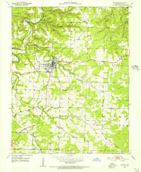
1951 Map of Houston
USGS Topo · Published 1956About this map
The Big Piney River carves a winding path through this mid-century landscape, framing the settlement of Houston. This era reveals a community deeply connected to its rural topography, where the plateau is dotted with numerous small schools and churches that served as local anchors. Family history and local heritage are well-documented through sites like Duke Cem, Foard Cem, and the Cleveland Sch.
Find a feature on this map
33 named features on this map. Tap any name to fly to it.
Don’t see what you’re looking for? This feature index may not catch every label — zoom into the map to look around manually.
Map Details
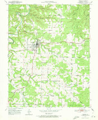
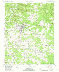
Editions of this 1951 Houston Map
4 editions found
Other maps of this area

1941 · Bado
USGS Topo · 1:62,500

1943 · Bado
USGS Topo · 1:62,500

1945 · Clear Springs
USGS Topo · 1:62,500

1948 · Clear Springs
USGS Topo · 1:62,500

1949 · Rolla
USGS Topo · 1:250,000

1951 · Licking
USGS Topo · 1:24,000

1951 · Raymondville
USGS Topo · 1:24,000

1951 · Prescott
USGS Topo · 1:24,000

1951 · Houston
USGS Topo · 1:24,000

1951 · Cabool NE
USGS Topo · 1:24,000