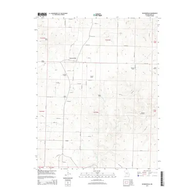
2015 Map of Raymondville
USGS Topo · Published 2015About this map
Raymondville and Yukon anchor this portion of the Salem Plateau in Texas County, Missouri. The landscape is defined by a dense network of drainages and named hollows, including Devils Hollow and Bradford Cave Hollow, which carve into the upland terrain. Rural life is reflected in the placement of the Allen Cemetery and numerous family-named roads like Vollmar DR and Mccolgin RD. Local hydrology is prominently featured through water sources such as Bear Claw Spring and several branches like Pond Spring Br and Hobbs Br. These features, along with the larger Big Cr, illustrate the intricate watershed patterns that have shaped the settlement and agricultural layout of this Ozark region.
Find a feature on this map
60 named features on this map. Tap any name to fly to it.
Don’t see what you’re looking for? This feature index may not catch every label — zoom into the map to look around manually.
Map Details
Editions of this 2015 Raymondville Map
This is the sole edition of this map. No revisions or reprints were ever made.
Other maps of this area
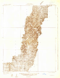
1932 · Cedar Grove
USGS Topo · 1:48,000
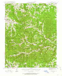
1945 · Clear Springs
USGS Topo · 1:62,500
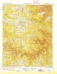
1946 · Summersville
USGS Topo · 1:62,500
1948 · Clear Springs
USGS Topo · 1:62,500
1948 · Summersville
USGS Topo · 1:62,500

1949 · Rolla
USGS Topo · 1:250,000
1951 · Montauk
USGS Topo · 1:24,000
1951 · Licking
USGS Topo · 1:24,000
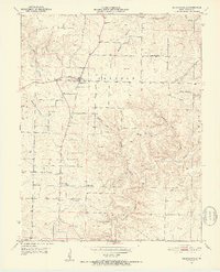
1951 · Raymondville
USGS Topo · 1:24,000
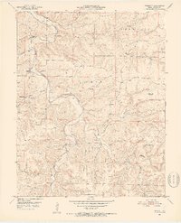
1951 · Prescott
USGS Topo · 1:24,000