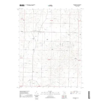
2017 Map of Raymondville
USGS Topo · Published 2017About this map
Raymondville serves as the central hub of this portion of the Salem Plateau in Texas County, where the landscape is defined by a complex network of deeply incised drainage systems. The topography is characterized by numerous named "hollows," including Flat Rock Hollow, Gregory Hollow, and Bradford Cave Hollow, which carve into the upland plains. These natural features dictated the winding paths of rural routes like Co RD 3200 and Co RD 3410 that connect the small settlement of Yukon to the surrounding farms. Genealogical interest is centered on sites like Allen Cem and the various family-named hollows, while the hydrologic character of the Ozarks is evident through features such as Bear Claw Spring and Pond Spring Br. The transition from the higher western terrain down toward S Ashley Cr illustrates the erosional forces that have shaped this timbered and agricultural region over generations.
Find a feature on this map
104 named features on this map. Tap any name to fly to it.
Don’t see what you’re looking for? This feature index may not catch every label — zoom into the map to look around manually.
Map Details
Editions of this 2017 Raymondville Map
This is the sole edition of this map. No revisions or reprints were ever made.
Other maps of this area

1932 · Cedar Grove
USGS Topo · 1:48,000

1945 · Clear Springs
USGS Topo · 1:62,500

1946 · Summersville
USGS Topo · 1:62,500

1948 · Clear Springs
USGS Topo · 1:62,500

1948 · Summersville
USGS Topo · 1:62,500

1949 · Rolla
USGS Topo · 1:250,000

1951 · Montauk
USGS Topo · 1:24,000

1951 · Licking
USGS Topo · 1:24,000

1951 · Raymondville
USGS Topo · 1:24,000

1951 · Prescott
USGS Topo · 1:24,000