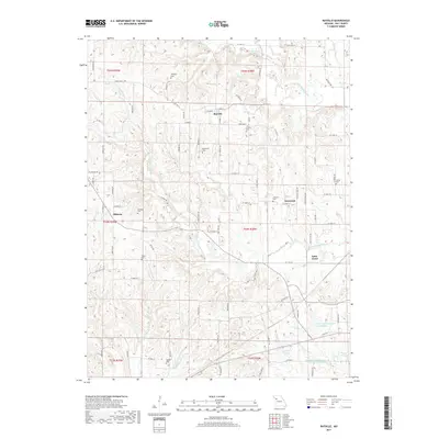
2017 Map of Rayville
USGS Topo · Published 2017About this map
Rayville sits at the heart of this Ray County landscape, where the dendritic drainage of the Crooked River and its numerous forks define the local topography. The region is characterized by a high concentration of family and community burial grounds, such as McGaugh Cem, Crowley Cem, and Sanderson Cem, which offer significant value for genealogical research in this part of Missouri. These small cemeteries are dispersed among the rural uplands between the W Fork Crooked River and the Rocky Fork. Small clusters of settlement at Swanwick, Elkhorn, and Saint Cloud are connected by a network of local routes like Rabbit Farm Rd and Tree Farm Rd. In the southern reaches, the terrain levels out toward several water bodies including Swofford Lake and the Ray County Number A-24b Lake.
Find a feature on this map
91 named features on this map. Tap any name to fly to it.
Don’t see what you’re looking for? This feature index may not catch every label — zoom into the map to look around manually.
Map Details
Editions of this 2017 Rayville Map
This is the sole edition of this map. No revisions or reprints were ever made.
Other maps of this area

1889 · Lexington
USGS Topo · 1:125,000

1894 · Independence
USGS Topo · 1:125,000

1935 · Buckner
USGS Topo · 1:24,000

1949 · Lexington West
USGS Topo · 1:24,000

1950 · Kansas City
USGS Topo · 1:250,000
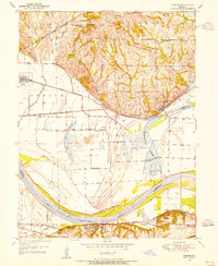
1950 · Camden
USGS Topo · 1:24,000
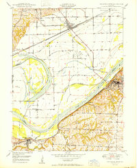
1950 · Lexington West
USGS Topo · 1:24,000
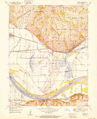
1951 · Camden
USGS Topo · 1:24,000

1953 · Moberly
USGS Topo · 1:250,000

1954 · Kansas City
USGS Topo · 1:250,000