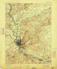
1894 Map of Reading
USGS Topo · Published 1900About this map
The city of Reading sits as a dense industrial core in the 1890s, where the Schuylkill River and a massive intersection of rail lines define the urban landscape. The survey details the complex network of the Philadelphia and Reading RR and the Wilmington & Northern RR as they snake through the river valley and the foothills of Mt Penn and Neversink Mt.
Find a feature on this map
112 named features on this map. Tap any name to fly to it.
Don’t see what you’re looking for? This feature index may not catch every label — zoom into the map to look around manually.
Map Details
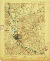
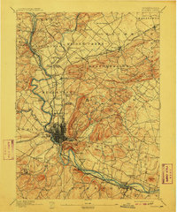
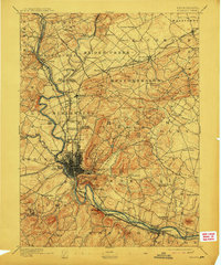
Editions of this 1894 Reading Map
5 editions found
Other maps of this area

1889 · Pottsville
USGS Topo · 1:62,500

1891 · Pottsville
USGS Topo · 1:62,500

1894 · Reading
USGS Topo · 1:62,500

1902 · Boyertown
USGS Topo · 1:62,500

1902 · Wernersville
USGS Topo · 1:62,500

1902 · Slatington
USGS Topo · 1:62,500

1905 · Honey Brook
USGS Topo · 1:62,500

1906 · Phoenixville
USGS Topo · 1:62,500

1906 · New Holland
USGS Topo · 1:62,500

1907 · Honeybrook
USGS Topo · 1:62,500