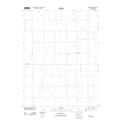
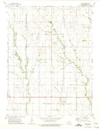
2012 Map of Reamsville
USGS Topo · Published 2012About this map
Agricultural lands in Smith County, Kansas, are defined by a network of north-flowing prairie streams. The settlements of Thornburg and Reamsville serve as central points for this rural landscape, connected by a grid of section-line roads like Thornburg Rd and Co Rd-629. The terrain is deeply etched by numerous waterways, including Iowa Creek and Bull Creek, which drain the open country. Local heritage is preserved in quiet landmarks such as Pleasant Hill Cemetery and Eminence Cemetery, which sit among the fields near the headwaters of East Beaver Creek and the various branches of West Branch Troublesome Creek. This survey captures the enduring rural character of North Central Kansas, where the arrangement of farmsteads and cemeteries follows the original township and range surveys that structured the High Plains.
Find a feature on this map
17 named features on this map. Tap any name to fly to it.
Don’t see what you’re looking for? This feature index may not catch every label — zoom into the map to look around manually.
Map Details
Editions of this 2012 Reamsville Map
This is the sole edition of this map. No revisions or reprints were ever made.
Other maps of this area
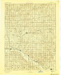
1893 · Smith Center
USGS Topo · 1:125,000
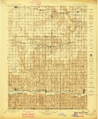
1897 · Red Cloud
USGS Topo · 1:125,000
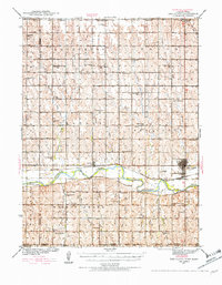
1940 · Red Cloud
USGS Topo · 1:62,500
1942 · Red Cloud
USGS Topo · 1:62,500
1955 · Grand Island
USGS Topo · 1:250,000

1955 · Beloit
USGS Topo · 1:250,000
1957 · Grand Island
USGS Topo · 1:250,000
1958 · Grand Island
USGS Topo · 1:250,000

1959 · Beloit
USGS Topo · 1:250,000
1973 · Athol
USGS Topo · 1:24,000