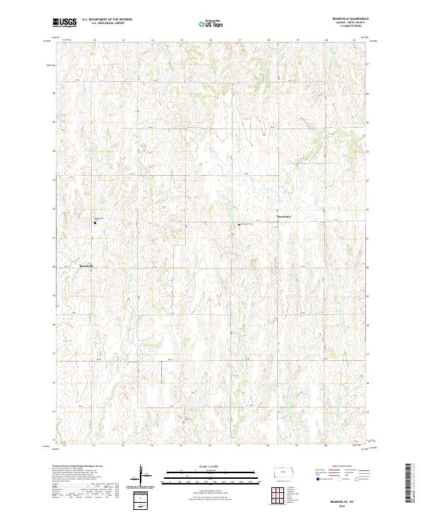
2022 Map of Reamsville
USGS Topo · Published 2022About this map
Reamsville and Thornburg anchor this rural landscape in Smith County, defined by a dense network of creek drainages that carve through the Kansas plains. The terrain is dominated by the headwaters and branches of numerous watercourses, including the westward-flowing Iowa Cr and the diverging paths of W Br Troublesome Cr and E Br Troublesome Cr. These streams dictate the positioning of the section-line road system, which follows a rigid grid of numeric designations like 60 RD and 70 RD.
Find a feature on this map
27 named features on this map. Tap any name to fly to it.
Don’t see what you’re looking for? This feature index may not catch every label — zoom into the map to look around manually.
Map Details
Editions of this 2022 Reamsville Map
This is the sole edition of this map. No revisions or reprints were ever made.
Other maps of this area

1893 · Smith Center
USGS Topo · 1:125,000

1897 · Red Cloud
USGS Topo · 1:125,000

1940 · Red Cloud
USGS Topo · 1:62,500

1942 · Red Cloud
USGS Topo · 1:62,500

1955 · Grand Island
USGS Topo · 1:250,000

1955 · Beloit
USGS Topo · 1:250,000

1957 · Grand Island
USGS Topo · 1:250,000

1958 · Grand Island
USGS Topo · 1:250,000

1959 · Beloit
USGS Topo · 1:250,000

1973 · Athol
USGS Topo · 1:24,000