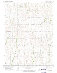
1973 Map of Reamsville
USGS Topo · Published 1975About this map
The Nebraska-Kansas border defines the northern edge of this agricultural landscape in Smith County during the early 1970s. This survey illustrates a rural society organized around small civic and religious centers, such as Reamsville and Thornburg. The land is heavily dissected by an intricate drainage system including the aptly named Troublesome Creek, Stinking Creek, and Iowa Creek, which carve through the townships of Martin, Beaver, and Pleasant.
Find a feature on this map
21 named features on this map. Tap any name to fly to it.
Don’t see what you’re looking for? This feature index may not catch every label — zoom into the map to look around manually.
Map Details
Editions of this 1973 Reamsville Map
This is the sole edition of this map. No revisions or reprints were ever made.
Other maps of this area

1893 · Smith Center
USGS Topo · 1:125,000

1897 · Red Cloud
USGS Topo · 1:125,000

1940 · Red Cloud
USGS Topo · 1:62,500

1942 · Red Cloud
USGS Topo · 1:62,500

1955 · Grand Island
USGS Topo · 1:250,000

1955 · Beloit
USGS Topo · 1:250,000

1957 · Grand Island
USGS Topo · 1:250,000

1958 · Grand Island
USGS Topo · 1:250,000

1959 · Beloit
USGS Topo · 1:250,000

1973 · Athol
USGS Topo · 1:24,000