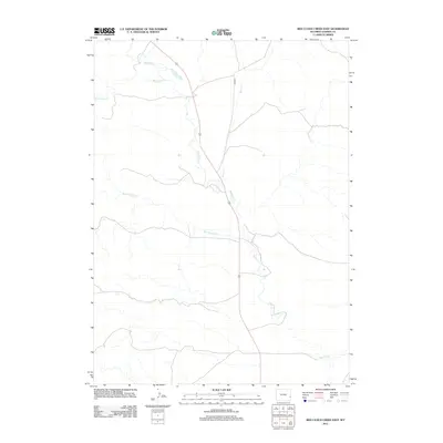
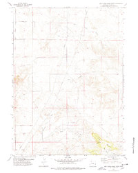
2012 Map of Red Cloud Creek East
USGS Topo · Published 2012About this map
Rawhide Creek serves as the primary hydrological spine of this Goshen County landscape, meandering southward through a network of seasonal drainages. The area is defined by its drainages, including the eponymous Red Cloud Creek and the long, winding Dry Rawhide Creek. Human activity is focused along the north-south transit corridor of Co RD 25, which parallels the watercourses through this high plains region. The map captures a largely open landscape where the confluence of minor tributaries like Sixmile Creek dictated the placement of early ranching infrastructure and local roadways in the early 21st century.
Find a feature on this map
5 named features on this map. Tap any name to fly to it.
Don’t see what you’re looking for? This feature index may not catch every label — zoom into the map to look around manually.
Map Details
Editions of this 2012 Red Cloud Creek East Map
This is the sole edition of this map. No revisions or reprints were ever made.
Other maps of this area

1896 · Patrick
USGS Topo · 1:125,000

1954 · Torrington
USGS Topo · 1:250,000

1958 · Torrington
USGS Topo · 1:250,000
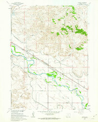
1960 · Barnes
USGS Topo · 1:24,000
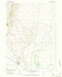
1963 · Lingle
USGS Topo · 1:24,000

1963 · Tea Kettle Rock
USGS Topo · 1:24,000

1974 · Spoon Butte SW
USGS Topo · 1:24,000
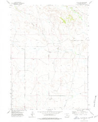
1974 · Jay Em NW
USGS Topo · 1:24,000

1974 · Jay Em
USGS Topo · 1:24,000
1977 · Red Cloud Creek West
USGS Topo · 1:24,000