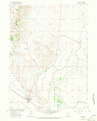
1963 Map of Lingle
USGS Topo · Published 1965About this map
Lingle serves as a vital agricultural and transport hub in the North Platte Valley, situated where the Chicago Burlington and Quincy railroad intersects with an extensive irrigation network. The landscape is defined by the engineering of the Interstate Canal and Lucerne Canal, which divert water to sustain the surrounding plains. Genealogists can locate both Valley View Cem and Lingle Cem on the outskirts of the settlement, while historians may trace the Emigrant Trail (Approximate Location) as it parallels the modern transit corridors. To the north, the terrain rises into breaks and draws such as Witty Draw and Rawhide Creek, leading toward prominent landmarks like P F Hill and Tea Kettle Rock Road. Small family-named features like Willy Windmill and Bowen Spring illustrate the era's reliance on localized water sources for ranching operations.
Find a feature on this map
20 named features on this map. Tap any name to fly to it.
Don’t see what you’re looking for? This feature index may not catch every label — zoom into the map to look around manually.
Map Details
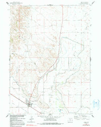
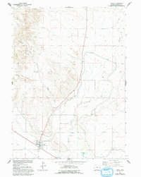
Editions of this 1963 Lingle Map
3 editions found
Other maps of this area

1896 · Patrick
USGS Topo · 1:125,000

1954 · Torrington
USGS Topo · 1:250,000

1958 · Torrington
USGS Topo · 1:250,000

1960 · Habig Spring
USGS Topo · 1:24,000
1960 · Barnes
USGS Topo · 1:24,000
1960 · Cottier
USGS Topo · 1:24,000

1963 · Tea Kettle Rock
USGS Topo · 1:24,000
1963 · Torrington
USGS Topo · 1:24,000

1974 · Spoon Butte SW
USGS Topo · 1:24,000
1977 · Red Cloud Creek West
USGS Topo · 1:24,000