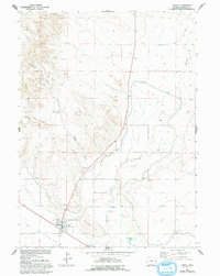
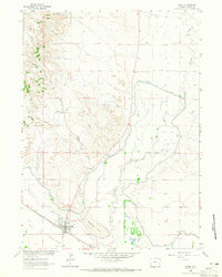
1963 Map of Lingle
USGS Topo · Published 1993About this map
The town of Lingle serves as a focal point in this Wyoming landscape, where the historic Emigrant Trail traverses the southwestern corner near the Platte River valley. The local agricultural economy is clearly defined by an extensive irrigation network, including the Interstate Canal and Lucerne Ditch, which redirect water across the arid terrain. These man-made watercourses contrast with natural drainage patterns like Rawhide Creek and Willy Draw, illustrating the intensive effort to cultivate this section of Goshen County in the early 1960s.
Find a feature on this map
20 named features on this map. Tap any name to fly to it.
Don’t see what you’re looking for? This feature index may not catch every label — zoom into the map to look around manually.
Map Details
Editions of this 1963 Lingle Map
3 editions found
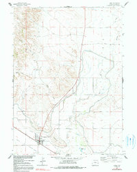
Other maps of this area

1896 · Patrick
USGS Topo · 1:125,000

1954 · Torrington
USGS Topo · 1:250,000

1958 · Torrington
USGS Topo · 1:250,000

1960 · Habig Spring
USGS Topo · 1:24,000
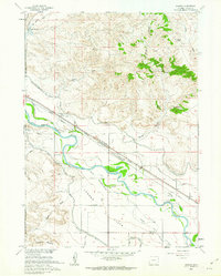
1960 · Barnes
USGS Topo · 1:24,000
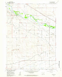
1960 · Cottier
USGS Topo · 1:24,000
1963 · Lingle
USGS Topo · 1:24,000

1963 · Tea Kettle Rock
USGS Topo · 1:24,000
1963 · Torrington
USGS Topo · 1:24,000

1974 · Spoon Butte SW
USGS Topo · 1:24,000